
Technical Explanation
Understanding Geodesy and Its Importance in Hydrographic Practices
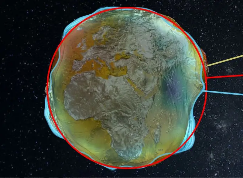
Geodesy is a branch of Earth science that focuses on understanding the geometric shape, orientation in space, and gravitational field of the Earth. It plays an essential role in various scientific applications, particularly in hydrography, where accurate measurements of water bodies are critical.
Definition of Geodesy
Geodesy is defined as the science of measuring the Earth’s size, shape, gravitational field, and rotation. It integrates diverse disciplines, including physics, mathematics, and engineering, to provide reliable data for navigation, construction, and resource management.
Instrumentation Used in Geodesy
The practice of geodesy relies on various advanced instruments:
- Global Navigation Satellite Systems (GNSS): Provide high-precision positioning data.
- Theodolites: Used for measuring angles in the horizontal and vertical planes.
- Laser Scanners: Capture detailed 3D models of the Earth’s surface.
- Gravitometers: Measure the gravitational pull of the Earth.
Setup and Calibration
Proper setup and calibration of equipment are critical to achieving accurate measurements:
- Equipment should be set on stable ground to minimize errors.
- Regular calibration against established benchmarks ensures the accuracy of measurements.
Geodetic Frames and Datums
A geodetic frame is a coordinate system that defines the positions of points on the Earth’s surface. Common datums used in geodesy include:
- Local Mean Sea Level (MSL): A reference point for elevation measurements.
- Geodetic Datums: Such as WGS84, which provide a consistent framework for global positioning.
Time Synchronization and Data Processing Workflows
Time synchronization is crucial for GNSS measurements. Accurate timestamps ensure that data from different sites can be correlated effectively. The data processing workflow typically includes:
- Data collection: Acquiring raw data from various sensors.
- Preprocessing: Filtering and formatting data for analysis.
- Geocoding: Assigning geographic coordinates to the data.
- Analysis: Using statistical methods to derive meaningful insights from the data.
Quality Assurance/Quality Control (QA/QC) and Uncertainty
QA/QC procedures are essential in geodesy to ensure the reliability of data. This can involve:
- Comparing results with established benchmarks.
- Implementing systematic checks at various processing stages.
- Assessing uncertainty levels and documenting potential errors.
Real-World Applications of Geodesy
Geodesy has a multitude of applications in real-world scenarios:
- Hydrographic Surveying: Provides vital data for navigation and marine resource management.
- Infrastructure Development: Assists in the planning and construction of buildings and roads.
- Environmental Monitoring: Tracks changes in sea levels, land subsidence, and tectonic movements.
Conclusion
Geodesy is fundamentally about understanding our planet’s physical attributes and dynamics. Its applications in hydrography not only enhance navigation accuracy but also contribute to the sustainable management of marine resources. Continuous advancements in geodetic technology will further improve our ability to measure and interact with the world around us.